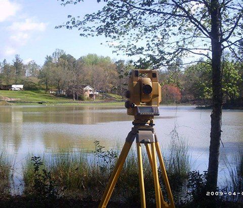
Comprehensive Land Surveys Throughout The CSRA
Boundary Surveys
A boundary survey is a survey carried out to determine property lines and define true property corners of a parcel(s) or tract(s) of land described in a deed. It also indicates the extent of any easements or encroachments and may show the limitations imposed on the property by state or local regulations. Easements may include a utility line easement crossing the subject property to a neighboring property or appurtenant such as the right to cross another property for access to a public road. On the other hand, the use of a piece of land by an individual other than the owner unaccompanied by an authority to do so is generally termed as encroachment. Boundary surveys are an important procedure for anyone buying a property of any type. They are typically performed prior to buying, subdividing, improving or building on land. Surveying the parcel before these activities ensures avoidance of future disputes, the expense and frustration of defending a lawsuit, moving a building, or resolving a boundary problem.
As-Built Survey
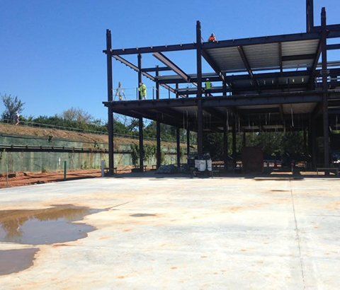
As-built surveys are needed to record variations from original Engineering plans to what is actually built. As-built surveys are required by many agencies to prove the location of a structure at a point in time. Many agencies need the as-built surveys for the actual locations of underground improvements. These are especially important for maintenance and future development of the site. As-built surveys can also help engineers see what was actually built and to make sure it was built within applicable tolerance. The accuracy of the as-built locations of a structure is critical.
Construction Layout
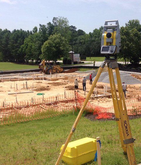
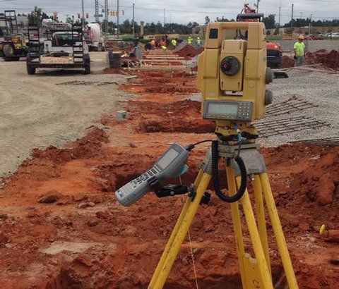
Construction Staking, also known as a construction layout survey, is the process of interpreting construction plans and marking the location of proposed new structures such as roads or buildings. Construction staking is performed to ensure a project is built according to engineering design plans. The staked reference points guide the construction of proposed improvements on the property and will help to ensure the construction project is completed on schedule, on budget and as intended.
Topography Surveying
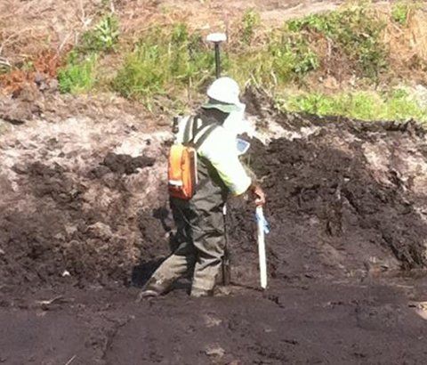
A topographic survey is a survey that gathers data about the elevation of points on a piece of land and presents them as contour lines on a plot. The purpose of a topographic survey is to collect survey data about the natural and man-made features of the land, as well as its elevations. Topographic maps are used to show elevations and grading features for architects, engineers, and building contractors.
ALTA Survey
An ALTA/ACSM Land Survey is a detailed boundary survey that follows the national standards adopted by American Land Title Association and National Society of Professional Surveyors. Designed for the specific needs of corporations, lenders and title companies for the development of commercial properties, ALTA surveys impose a more stringent set of requirements than a typical boundary survey.
